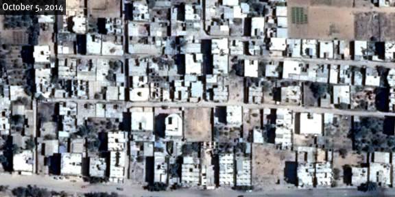
Satellite images show final building demolition in central Rafah between October 5, 2014 and August 12, 2015. Center Coordinates : Geo-34°14'13.106"E 31°17'15.48"N ; MGRS-36RXV1773762140. Pléiades-1
© CNES 2015/Distribution Airbus DS
Satellite images show final building demolition in central Rafah between October 5, 2014 and August 12, 2015. Center Coordinates : Geo-34°14'13.106"E 31°17'15.48"N ; MGRS-36RXV1773762140. Pléiades-1